Seismic interpreters must have a reliable methodology that allows them to (1) correlate seismic reflection events with well-log-defined sequence boundaries and (2) specify which seismic facies windows correspond to the rock facies intervals defined by well control.
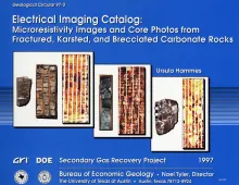
Electrical images in boreholes are becoming increasingly important in interpreting the rock record. In addition to identifying fractures and faults, borehole imaging tools are used in a variety of other applications, such as horizontal drilling; environmental studies; stress-orientation-measurement studies; sequence stratigraphy; and paleotransport, facies, and diagenetic analyses.
This report applies a basin-scale coalbed methane producibility model in defining fairways and sweet spots in three coal basins in the United States. The Bureau of Economic Geology, The University of Texas at Austin, has developed a basin-scale coalbed methane producibility and exploration model based on a decade of Gas Research Institute-supported research performed in the San Juan, Sand Wash (Greater Green River), and Piceance Basins and on reconnaissance studies of several other producing and prospective coal basins in the United States.