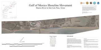
Publication Year
2021
Series
Posters
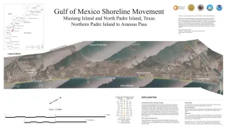
Publication Year
2021
Series
Posters
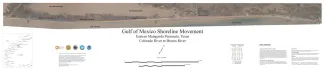
Publication Year
2021
Series
Posters
Publication Year
2021
Series
Annual Reports
Abstract
Annual report for the Bureau of Economic Geology 2021
Publication Year
2021
Series
Posters