STATEMAP Project Maps
-
Books & Reports
- Reports of Investigations
- Guidebooks
- Udden Series
- Geological Circulars
- Down To Earth
- Atlases of Major Oil and Gas Reservoirs
- Texas Memorial Museum Publications
- Environmental Geologic Atlas of the Texas Coastal Zone
- Mineral Resource Circulars
- Other Reports
- Seminars and Workshops
- Handbooks
- Submerged Lands of Texas
- Symposia
- Annual Reports
- Open File Reports
-
Maps & Cross Sections
- Thematic Maps
- Miscellaneous Maps, Charts & Sections
- Geologic Atlas of Texas
- STATEMAP Project Maps
- Geologic Quadrangle Maps
- Cross Sections
- Highway Geology Map
- Energy and Mineral Resource Maps
- Shoreline Change and Other Posters
- Wilcox Group, East Texas, Geological / Hydrological Folios
- Bouguer Gravity Atlas of Texas
- River Basin Regional Studies
- Featured Maps
- Posters
- Teachers & the Public
-
Geological Society Publications
- Gulf Coast Association of Geological Societies
- Alabama Geological Society
- Austin Geological Society
- Corpus Christi Geological Society
- Houston Geological Society
- Lafayette Geological Society
- Mississippi Geological Society
- New Orleans Geological Society
- South Texas Geological Society
- GCS SEPM Publications
- Historic BEG & UT Series

Olivia and Part of Keller Bay Quadrangle, Texas Gulf of Mexico Coast
OFM0247
For a downloadable, digital version: OFM0247D.
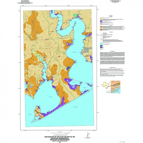
OFM0247. Geologic Map of the Olivia and Part of Keller Bay Quadrangles, Texas Gulf of Mexico Coast, by J. G. Paine and Lucie Costard. 2020. Oversize geologic map on color topographic base, 2 sheets, map scale 1:24,000. Paper Map.
About This Publication
Photography used in the study was 0.6-m pixel, natural color, National Agriculture Imagery Program digital imagery, photographed in 2018. Photography was obtained from the Texas Natural Resources Information System (TNRIS). Photography was supplemented by a 1-m cell size digital elevation model (DEM) constructed from data acquired during an airborne lidar survey flown by the Bureau of Economic Geology in 2015. Previous regional maps that cover this area include the 1:250,000-scale Geologic Atlas of Texas, Beeville–Bay City Sheet (Aronow and others, 1975; revised 1987); the 1:125,000-scale Environmental Geologic Atlas of Texas, Port Lavaca Sheet (McGowen and others, 1976); and the 1:125,000-scale map of Distribution of Wetlands and Benthic Macroinvertebrates from the Submerged Lands of Texas, Port Lavaca area (White and others, 1989).
The study included field observations of surficial deposits, collection and interpretation of surface and subsurface electrical conductivities measured using ground-based electromagnetic induction conductivity meters (Geonics EM31 and EM38) and a time-domain electromagnetic induction instrument (ABEM WalkTEM). Digital elevation contour files for generalized topography were adapted from the USGS. Digital files of roads were obtained from the Texas Department of Transportation. Streams and drainage ditches were mapped from aerial imagery and the lidar-derived DEM
Keywords: Texas, Texas Coast
Citation
Paine, J. G., and Costard, Lucie, 2020, Geologic Map of the Olivia and Part of Keller Bay Quadrangles, Texas Gulf of Mexico Coast: The University of Texas at Austin, Bureau of Economic Geology, Open-File Map 247, 2 sheets, scale 1:24,000.
