STATEMAP Project Maps
-
Books & Reports
- Reports of Investigations
- Guidebooks
- Udden Series
- Geological Circulars
- Down To Earth
- Atlases of Major Oil and Gas Reservoirs
- Texas Memorial Museum Publications
- Environmental Geologic Atlas of the Texas Coastal Zone
- Mineral Resource Circulars
- Other Reports
- Seminars and Workshops
- Handbooks
- Submerged Lands of Texas
- Symposia
- Annual Reports
- Open File Reports
-
Maps & Cross Sections
- Thematic Maps
- Miscellaneous Maps, Charts & Sections
- Geologic Atlas of Texas
- STATEMAP Project Maps
- Geologic Quadrangle Maps
- Cross Sections
- Highway Geology Map
- Energy and Mineral Resource Maps
- Shoreline Change and Other Posters
- Wilcox Group, East Texas, Geological / Hydrological Folios
- Bouguer Gravity Atlas of Texas
- River Basin Regional Studies
- Featured Maps
- Posters
- Teachers & the Public
-
Geological Society Publications
- Gulf Coast Association of Geological Societies
- Alabama Geological Society
- Austin Geological Society
- Corpus Christi Geological Society
- Houston Geological Society
- Lafayette Geological Society
- Mississippi Geological Society
- New Orleans Geological Society
- South Texas Geological Society
- GCS SEPM Publications
- Historic BEG & UT Series

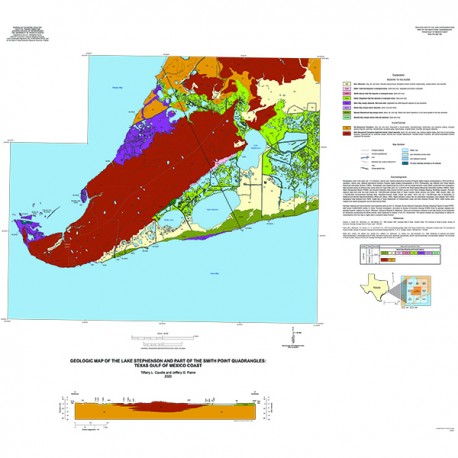
Geologic Map of the Lake Stephenson and Part of the Smith Point Quadrangles, Texas Gulf of Mexico Coast
OFM0248
Geologic Map of the Lake Stephenson and Smith Point Quadrangles, Texas Gulf of Mexico Coast, by T. L. Caudle and J. G. Paine. 2020. Oversize geologic map on color topographic base, map scale 1:24,000. Print Version.
For a downloadable, digital version: OFM0248D.
OFM0248. Geologic Map of the Lake Stephenson and Smith Point Quadrangles, Texas Gulf of Mexico Coast, by T. L. Caudle and J. G. Paine. 2020. Oversize geologic map on color topographic base, map scale 1:24,000. Paper Map.
About This Publication
Photography used in the study was 1-m resolution, natural color, National Agricultural Inventory Program digital imagery photographed in 2016 and 60-cm resolution, natural color, National Agricultural Inventory Program digital imagery photographed in 2018. Photography was obtained from Texas Natural Resources Information System (TNRIS). Photography was supplemented by a 50-cm cell size digital elevation model (DEM) constructed from topographic data acquired during an airborne lidar survey flown by Fugro USA Land, Inc. in 2018 for the Texas Natural Resources Information System (TNRIS), Texas Water Development Board (TWDB), and Houston-Galveston Area Council (H-GAC) as part of the Texas Strategic Mapping (StratMap) program. Previous regional maps that cover this area include the 1:250,000-scale Geologic Atlas of Texas, Houston Sheet (Aronow and others, 1968; revised 1982), the 1:125,000-scale Environmental Geologic Atlas, Galveston-Houston Sheet (Fisher and others, 1972), and the 1:125,000-scale map of Distribution of Wetlands and Benthic Macroinvertebrates (White and others, 1985). Digital elevation contour files for generalized topography were adapted from USGS topographic data obtained from TNRIS. Digital files of Texas Department of Transportation roads were also obtained through TNRIS. Water bodies were mapped from aerial photographs and the lidar-derived DEM.
Geologic mapping and map production were supported partly by the U.S. Geologic Survey National Cooperative Geologic Mapping Program through STATEMAP award G19AC00225 (Jeffrey G. Paine, Principal Investigator), and partly by Bureau of Economic Geology STARR funds for geologic mapping and geologic hazards. Graphics by Jana S. Robinson. Editing by Amanda R. Masterson. Views and conclusions contained in this map should not be interpreted as necessarily representing the official policies, either expressed or implied, of the U.S. Government. The authors disclaim any responsibility or liability for interpretations from this map or digital data or decisions based thereon.
Keywords: Texas, Texas Coast
Citation
Caudle, T.L., and Paine, J. G., 2020, Geologic Map of the Lake Stephenson and Smith Point Quadrangles, Texas Gulf of Mexico Coast: The University of Texas at Austin, Bureau of Economic Geology, Open-File Map 248, 2 sheets, scale 1:24,000.
