STATEMAP Project Maps
-
Books & Reports
- Reports of Investigations
- Guidebooks
- Udden Series
- Geological Circulars
- Down To Earth
- Atlases of Major Oil and Gas Reservoirs
- Texas Memorial Museum Publications
- Environmental Geologic Atlas of the Texas Coastal Zone
- Mineral Resource Circulars
- Other Reports
- Seminars and Workshops
- Handbooks
- Submerged Lands of Texas
- Symposia
- Annual Reports
- Open File Reports
-
Maps & Cross Sections
- Thematic Maps
- Miscellaneous Maps, Charts & Sections
- Geologic Atlas of Texas
- STATEMAP Project Maps
- Geologic Quadrangle Maps
- Cross Sections
- Highway Geology Map
- Energy and Mineral Resource Maps
- Shoreline Change and Other Posters
- Wilcox Group, East Texas, Geological / Hydrological Folios
- Bouguer Gravity Atlas of Texas
- River Basin Regional Studies
- Featured Maps
- Posters
- Teachers & the Public
-
Geological Society Publications
- Gulf Coast Association of Geological Societies
- Alabama Geological Society
- Austin Geological Society
- Corpus Christi Geological Society
- Houston Geological Society
- Lafayette Geological Society
- Mississippi Geological Society
- New Orleans Geological Society
- South Texas Geological Society
- GCS SEPM Publications
- Historic BEG & UT Series


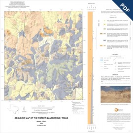
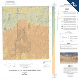
OFM0213D. Geologic Map of the Losoya Quadrangle, Texas, by B. A. Elliott. Oversize geologic map on color topographic base, map scale 1:24,000, 2014. Downloadable PDF. For paper map: OFM0213.
About This Publication
This map is one of several 1:24,000-scale maps of the region south of San Antonio, focusing on sand resources in the Tertiary stratigraphy of South Central Texas. Maps of this region provide a basic geologic framework to aid in managing water and earth resources; planning land use; identifying aquifer recharge areas; and identifying sources of aggregate, sand, gravel, and other earth resources. This study area lies within an Eocene-age Carrizo-Wilcox fluvial-deltaic setting to transitional marine transgressional Reklaw Formation and Queen City Sand. The Carrizo Formation is an important sand resource in South Central Texas, and the Carrizo-Wilcox aquifer recharge zone is important for water resource management in the region.
Keywords: maps, geologic maps, quadrangle maps, Losoya quadrangle, Texas
Citation
Elliott, B. A., 2014, Geologic Map of the Losoya Quadrangle, Texas: The University of Texas at Austin, Bureau of Economic Geology, Open-File Map No. OFM0213, scale 1:24,000.