STATEMAP Project Maps
-
Books & Reports
- Reports of Investigations
- Guidebooks
- Udden Series
- Geological Circulars
- Down To Earth
- Atlases of Major Oil and Gas Reservoirs
- Texas Memorial Museum Publications
- Environmental Geologic Atlas of the Texas Coastal Zone
- Mineral Resource Circulars
- Other Reports
- Seminars and Workshops
- Handbooks
- Submerged Lands of Texas
- Symposia
- Annual Reports
- Open File Reports
-
Maps & Cross Sections
- Thematic Maps
- Miscellaneous Maps, Charts & Sections
- Geologic Atlas of Texas
- STATEMAP Project Maps
- Geologic Quadrangle Maps
- Cross Sections
- Highway Geology Map
- Energy and Mineral Resource Maps
- Shoreline Change and Other Posters
- Wilcox Group, East Texas, Geological / Hydrological Folios
- Bouguer Gravity Atlas of Texas
- River Basin Regional Studies
- Featured Maps
- Posters
- Teachers & the Public
-
Geological Society Publications
- Gulf Coast Association of Geological Societies
- Alabama Geological Society
- Austin Geological Society
- Corpus Christi Geological Society
- Houston Geological Society
- Lafayette Geological Society
- Mississippi Geological Society
- New Orleans Geological Society
- South Texas Geological Society
- GCS SEPM Publications
- Historic BEG & UT Series

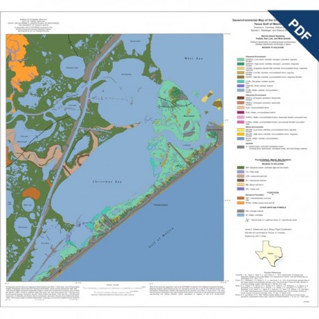
OFM0154D. Geoenvironmental map of the Christmas Point quadrangle, Texas, by T. A. Tremblay, W. A. White, and E. W. Collins. Color map on topographic base, map scale 1:24,000, 2004. OFM0154D, $11.00. Downloadable PDF.
This is a downloadable digital version in PDF format. Image size is 29.3"W x 27.2"H at 300dpi. File size is 4.6M.
To purchase this product in paper format, please order OFM0154 ($11.00).
To purchase this product as a download in GIS, please order OFM0154GISD ($11.00).
---------------------------------------------------------------------
Copyright © 2012 Bureau of Economic Geology
The University of Texas at Austin
All Rights Reserved
Terms of use:
All items sold here by the Bureau of Economic Geology at the University of Texas at Austin are protected by copyright and all rights are reserved. Purchase of items through this store constitutes acknowledgement of and consent to observance of all conditions, both express and implied, under international copyright law. Any unauthorized reproduction or distribution is a violation of this agreement and may be prosecuted to the fullest extent of the law. Additional copies of items for personal, internal, or commercial use and any form of electronic or digital reproduction or distribution for personal or corporate use require written permission from the Director, Bureau of Economic Geology, The University of Texas at Austin, University Station, Box X, Austin TX 78713-8924.
