Seminars and Workshops
-
Books & Reports
- Reports of Investigations
- Guidebooks
- Udden Series
- Geological Circulars
- Down To Earth
- Atlases of Major Oil and Gas Reservoirs
- Texas Memorial Museum Publications
- Environmental Geologic Atlas of the Texas Coastal Zone
- Mineral Resource Circulars
- Other Reports
- Seminars and Workshops
- Handbooks
- Submerged Lands of Texas
- Symposia
- Annual Reports
- Open File Reports
-
Maps & Cross Sections
- Thematic Maps
- Miscellaneous Maps, Charts & Sections
- Geologic Atlas of Texas
- STATEMAP Project Maps
- Geologic Quadrangle Maps
- Cross Sections
- Highway Geology Map
- Energy and Mineral Resource Maps
- Shoreline Change and Other Posters
- Wilcox Group, East Texas, Geological / Hydrological Folios
- Bouguer Gravity Atlas of Texas
- River Basin Regional Studies
- Featured Maps
- Posters
- Teachers & the Public
-
Geological Society Publications
- Gulf Coast Association of Geological Societies
- Alabama Geological Society
- Austin Geological Society
- Corpus Christi Geological Society
- Houston Geological Society
- Lafayette Geological Society
- Mississippi Geological Society
- New Orleans Geological Society
- South Texas Geological Society
- GCS SEPM Publications
- Historic BEG & UT Series

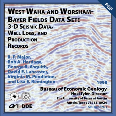
West Waha and Worsham-Bayer Fields Data Set: 3-D Seismic Data, Well Logs, and Production Records
SW0008D
West Waha and Worsham-Bayer Fields Data Set: 3-D Seismic Data, Well Logs, and Production Records, by R. P. Major, B. A. Hardage, D. E. Lancaster, V. M. Pendleton, and L. E. Remington. 10 figs., 2 tables. 3-D data in zip file in SEGY format, 1998.
About This Publication
This 3-D seismic well log and production data set presented uninterpreted is designed as a teaching resource and as a demonstration and testing data set for use with modern interpretation software. This 20-square-mile data volume from the southeastern Delaware Basin in the vicinity of West Waha and Worsham-Bayer fields contains 11 wells for which production data are provided. The principal gas-productive stratigraphic unit in this area is the Ellenburger Group (Ordovician), although the Fusselman Formation (Silurian), the Thirtyone Formation (Devonian), and Mississippian reservoirs also produce minor amounts of gas.
These data were collected as part of the Secondary Gas Recovery Project funded by the Gas Research Institute and the U.S. Department of Energy.
Keywords: Delaware Basin, oil and gas, seismic data, stratigraphy, West Waha field, Worsham-Bayer field, Texas
Citation
Major, R. P., Hardage, B. A., Lancaster, D. E,, Pendleton, V. M., and Remington, L. E., 1998, West Waha and Worsham-Bayer Fields Data Set: 3-D Seismic Data Well Logs and Production Records: The University of Texas at Austin, Bureau of Economic Geology, SW 8D.
