|
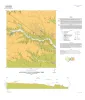
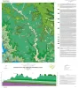
Geologic map of the Taylor quadrangle |
2020 |
|
Woodruff, C.M., Jr., Costard, L. |
Open-File Map |
Bureau of Economic Geology |
|
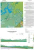
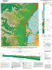
Geologic map of the lower Lake Travis and Lake Austin vicinity, Texas |
2019 |
|
Woodruff, C.M., Jr., Collins, E.W. |
Miscellaneous Map |
Bureau of Economic Geology |
|
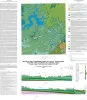
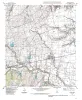
Geologic map of Mansfield Dam, Jollyville, Austin West, and Bee Cave quadrangles, Central Texas (Lower Lake Travis and Lake Austin vicinity) |
2018 |
|
Woodruff, C.M., Jr., Collins, E.W. |
Open-File Map |
Bureau of Economic Geology |
|
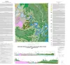
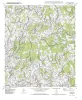
Geologic map of the upper Lake Travis area, Texas |
2016 |
|
Woodruff, C.M., Jr., Collins, E.W. |
Miscellaneous Map |
Bureau of Economic Geology |
|
Geologic map of the Travis Peak quadrangle |
2014 |
|
Woodruff, C.M., Jr. |
Open-File Map |
Bureau of Economic Geology |
|
Geologic map of the west half of the Taylor, Texas, 30 X 60 minute quadrangle: central Texas urban corridor, encompassing Round Rock, Georgetown, Salado, Briggs, Liberty Hill, and Leander |
2005 |
|
Collins, E.W. |
Miscellaneous Map |
Bureau of Economic Geology |
|
Geologic map of the Hutto Quadrangle, Texas |
2002 |
|
Collins, E.W. |
Open-File Map |
Bureau of Economic Geology |
|
Geologic map of the Beaukiss quadrangle, Texas |
2001 |
|
Collins, E.W. |
Open-File Map |
Bureau of Economic Geology |
|
Geologic map of the Coupland quadrangle, Texas |
2000 |
|
Collins, E.W. |
Open-File Map |
Bureau of Economic Geology |
|
Geologic map of the Mahomet Quadrangle, Texas |
1999 |
|
Collins, E.W. |
Open-File Map |
Bureau of Economic Geology |