Publication Details
Publication Year
2024
Map Scale
1:24000
County
Publication Code
OFM0285
Series
Open-File Map
Publisher
Geolocation:
Get the Publication
Free download:
Available to Purchase:
$10.00
The print version of this product is currently out of stock. Most items can be printed on-demand, please contact us to order: pubsales@beg.utexas.edu
Abstract/Description:
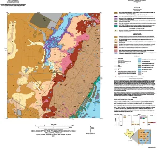
This 1:24,000-scale geologic map of the Aransas Pass 7.5-minute quadrangle shows the distribution of unconsolidated to semiconsolidated Holocene and Pleistocene geologic units deposited on the Texas coastal plain in fluvial, deltaic, bay, estuarine, lagoonal, and Gulf-margin environments. The GeMS GIS database contains mapped lines and polygons representing geologic features, contacts, and geologic units. The database conforms to GeMS (Geologic Map Schema)--a standard format for the digital publication of geologic maps developed by the U.S. Geological Survey National Cooperative Geologic Mapping Program.
Citation:
Paine, J. G., Grunau, B. A., and Morris, J. N., 2024 (revised 2026), Geologic map of the Aransas Pass quadrangle, Texas Gulf coast: The University of Texas at Austin, Bureau of Economic Geology, Open-File Map No. 285, scale 1:24,000.