Miscellaneous Maps, Charts & Sections
-
Books & Reports
- Reports of Investigations
- Guidebooks
- Udden Series
- Geological Circulars
- Down To Earth
- Atlases of Major Oil and Gas Reservoirs
- Texas Memorial Museum Publications
- Environmental Geologic Atlas of the Texas Coastal Zone
- Mineral Resource Circulars
- Other Reports
- Seminars and Workshops
- Handbooks
- Submerged Lands of Texas
- Symposia
- Annual Reports
- Open File Reports
-
Maps & Cross Sections
- Thematic Maps
- Miscellaneous Maps, Charts & Sections
- Geologic Atlas of Texas
- STATEMAP Project Maps
- Geologic Quadrangle Maps
- Cross Sections
- Highway Geology Map
- Energy and Mineral Resource Maps
- Shoreline Change and Other Posters
- Wilcox Group, East Texas, Geological / Hydrological Folios
- Bouguer Gravity Atlas of Texas
- River Basin Regional Studies
- Featured Maps
- Posters
- Teachers & the Public
-
Geological Society Publications
- Gulf Coast Association of Geological Societies
- Alabama Geological Society
- Austin Geological Society
- Corpus Christi Geological Society
- Houston Geological Society
- Lafayette Geological Society
- Mississippi Geological Society
- New Orleans Geological Society
- South Texas Geological Society
- GCS SEPM Publications
- Historic BEG & UT Series

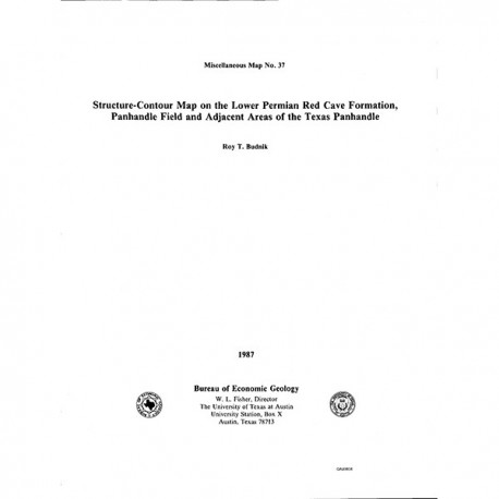
Structure-Contour Map on the Lower Permian Red Cave Formation, Panhandle Field and Adjacent Areas of the Texas Panhandle
MM0037
Structure-Contour Map on the Lower Permian Red Cave Formation, Panhandle Field and Adjacent Areas of the Texas Panhandle, by R. T. Budnik. 8-p. text, 3 plates, 1987. Print Version.
For a downloadable, digital version: MM0037D.
MM0037. Structure-Contour Map on the Lower Permian Red Cave Formation, Panhandle Field and Adjacent Areas of the Texas Panhandle, by R. T. Budnik. 8-p. text, 3 plates, 1987.
To purchase this map as a PDF download, please order MM0037D.
About This Publication
This map encompasses Hartley, Oldham, Potter, Moore, Hutchinson, Carson, Gray, Wheeler, and Collingsworth Counties in the Texas Panhandle. It is accompanied by an east-west cross section, a north-south cross section, and a short text that present information on the post-Pennsylvanian deformation of the Amarillo Uplift and the structure within the Panhandle field. Funding was provided by the U.S. Department of Energy.
Keywords: maps, structure maps, cross sections, Red Cave Formation, Permian, Panhandle field, Hartley County, Oldham County, Potter County, Moore County, Hutchinson County, Carson County, Gray County, Wheeler County, Collingsworth County, Texas, Texas Panhandle
Citation
Budnik, R. T., 1987, Structure-Contour Map on the Lower Permian Red Cave Formation, Panhandle Field and Adjacent Areas of the Texas Panhandle: The University of Texas at Austin, Bureau of Economic Geology, Miscellaneous Map No. 37.


