Miscellaneous Maps, Charts & Sections
-
Books & Reports
- Reports of Investigations
- Guidebooks
- Udden Series
- Geological Circulars
- Down To Earth
- Atlases of Major Oil and Gas Reservoirs
- Texas Memorial Museum Publications
- Environmental Geologic Atlas of the Texas Coastal Zone
- Mineral Resource Circulars
- Other Reports
- Seminars and Workshops
- Handbooks
- Submerged Lands of Texas
- Symposia
- Annual Reports
- Open File Reports
-
Maps & Cross Sections
- Thematic Maps
- Miscellaneous Maps, Charts & Sections
- Geologic Atlas of Texas
- STATEMAP Project Maps
- Geologic Quadrangle Maps
- Cross Sections
- Highway Geology Map
- Energy and Mineral Resource Maps
- Shoreline Change and Other Posters
- Wilcox Group, East Texas, Geological / Hydrological Folios
- Bouguer Gravity Atlas of Texas
- River Basin Regional Studies
- Featured Maps
- Posters
- Teachers & the Public
-
Geological Society Publications
- Gulf Coast Association of Geological Societies
- Alabama Geological Society
- Austin Geological Society
- Corpus Christi Geological Society
- Houston Geological Society
- Lafayette Geological Society
- Mississippi Geological Society
- New Orleans Geological Society
- South Texas Geological Society
- GCS SEPM Publications
- Historic BEG & UT Series

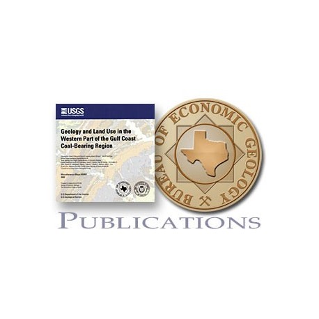
MM0041D. Geology and Land Use in the Western Part of the Gulf Coast Coal-Bearing Region. CD. Compiled by P. D. Warwick, C. E. Aubourg, R. W. Hook, and J. R. SanFilipo. Files contain 2 color map sheets, scale 1:500,000, 2003. Co-published by the Bureau of Economic Geology and the U.S. Geological Survey. Downloadable. 222 MB.
About This Publication
This map series is a compilation of the outcrop geology in the U.S. Gulf Coast coal region. The maps show the regional geologic setting for primary coal occurrences and detailed geology and historic mining areas.
From the CD: The CD version contains ESRI ArcView SHP files of cities, urban areas, historical mines (points and polygons), counties, current mines, 1:100,000 quadrangle outlines of the study area, fossil fuel powerplants, nuclear powerplants, political boundaries, federally managed lands, roads and railroads in the study area, hydrology in the study area (polygons and arcs), geology nomenclature breaks, geological features (faults), and geology. ArcExplorer is included on the CD.
Keywords: coal, land use, Gulf Coast, Texas
Citation
Warwick, P. D., Aubourg, C. E., Hook, R. W., and SanFilipo, J. R., compilers, 2003, Geology and Land Use in the Western Part of the Gulf Coast Coal-Bearing Region: The University of Texas at Austin, Bureau of Economic Geology, and U.S. Geological Survey, Bureau of Economic Geology Miscellaneous Map No. 41, 2 map sheets, scale 1:500,000.
