Geologic Quadrangle Maps
-
Books & Reports
- Reports of Investigations
- Guidebooks
- Udden Series
- Geological Circulars
- Down To Earth
- Atlases of Major Oil and Gas Reservoirs
- Texas Memorial Museum Publications
- Environmental Geologic Atlas of the Texas Coastal Zone
- Mineral Resource Circulars
- Other Reports
- Seminars and Workshops
- Handbooks
- Submerged Lands of Texas
- Symposia
- Annual Reports
- Open File Reports
-
Maps & Cross Sections
- Thematic Maps
- Miscellaneous Maps, Charts & Sections
- Geologic Atlas of Texas
- STATEMAP Project Maps
- Geologic Quadrangle Maps
- Cross Sections
- Highway Geology Map
- Energy and Mineral Resource Maps
- Shoreline Change and Other Posters
- Wilcox Group, East Texas, Geological / Hydrological Folios
- Bouguer Gravity Atlas of Texas
- River Basin Regional Studies
- Featured Maps
- Posters
- Teachers & the Public
-
Geological Society Publications
- Gulf Coast Association of Geological Societies
- Alabama Geological Society
- Austin Geological Society
- Corpus Christi Geological Society
- Houston Geological Society
- Lafayette Geological Society
- Mississippi Geological Society
- New Orleans Geological Society
- South Texas Geological Society
- GCS SEPM Publications
- Historic BEG & UT Series
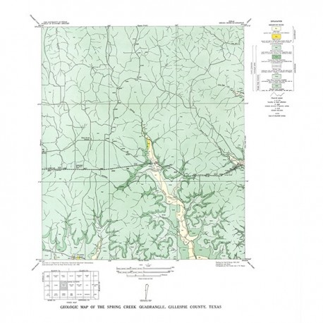
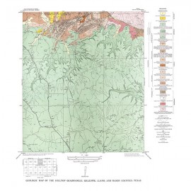
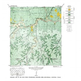
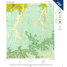
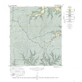
GQ0006. Geologic Map of the Spring Creek Quadrangle, Gillespie County, Texas, by V. E. Barnes. Oversized color geologic map with text on the back, map scale 1:31,680, 1952.
To purchase this map as a downloadable PDF, please order GQ0006D.
Keywords: maps, geologic maps, quadrangle maps, Spring Creek quadrangle, Gillespie County, Texas
Citation
Barnes, V. E., 1952, Geologic Map of the Spring Creek Quadrangle, Gillespie County, Texas: The University of Texas at Austin, Bureau of Economic Geology, Geologic Quadrangle Map No. 6, scale 1:31,680.

