Publication Year
2008
Publisher
Series
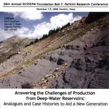
Houston Geological Society
Publication Year
2008
Publisher
Series
Gulf Coast Section SEPM
Publication Year
2008
Publisher
Series
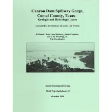
Austin Geological Society
Publication Year
2008
Series
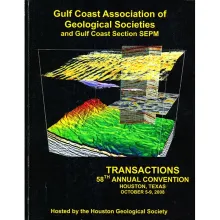
Gulf Coast Association of Geological Societies
Publication Year
2008
Series
Annual Reports
Abstract
Annual report for the Bureau of Economic Geology 2008