Publication Year
2016
Series
Annual Reports
Abstract
Annual report for the Bureau of Economic Geology 2016
Publication Year
2016
Publisher
Series
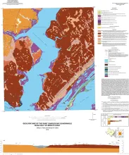
Open-File Map
Publication Year
2016
Publisher
Series
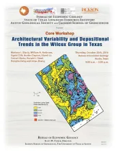
Seminars and Workshops
Publication Year
2016
Publisher
Series
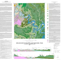
Miscellaneous Map
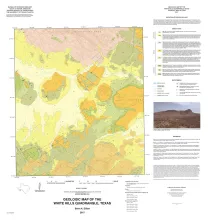
Publication Year
2016
Publisher
Series
Open-File Map