Papers in this volume were presented at the Gulf Coast Lignite Conference held in Austin, Texas, June 1976.
Papers were edited, in some cases extensively, and subjectively grouped by discipline, paralleling that of their presentation at the Conference.
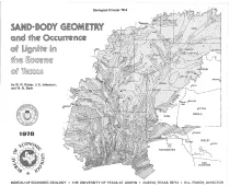
Lignite occurs in three Eocene stratigraphic units--the Wilcox Group, Yegua Formation, and Jackson Group--and in three ancient depositional systems-fluvial, deltaic, and strandplain/lagoonal. Sand-body geometry and lignite occurrence in these systems are revealed by regional sand-percent, net-sand, maximum-sand, and lignite-isopleth maps made from 3,050 electric and induction logs.
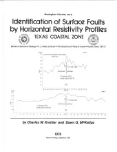
The land surface in the Texas Coastal Zone is interlaced with active and potentially active surface faults. They are subtle features which are difficult to identify until they have caused damage to manmade structures. To date (1978), significant damage has resulted. Faults intercept 2 airports, interstate highways at 11 different locations, and railroad tracks at 28 locations. Faults also pass through 11 residential communities. More than 200 houses in these communities in Harris and Galveston Counties show structural damage because of faulting.
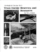
Contributing about 25 percent of all the energy ever produced in the United States, Texas has for 50 years led the nation in energy production. Historically, the Texas production has been chiefly from nearly equal amounts of crude oil and natural gas, augmented by smaller amounts of natural gas liquids, uranium, coal, and lignite.
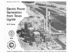
Lignite is a rediscovered energy in Texas because lignite-produced energy is 3 to 7 times cheaper than intrastate natural gas. Production has risen from 18,000 short tons in 1950 to 14 million tons in 1976 and will exceed 50 million tons by 1985. Currently installed lignite-fired generating capacity is 3410 MW and may reach 11,475 MW in 1985. Steam-electric stations up to 3000 MW, are planned; individual generating units are 120 to 750 MW.