Approximately 800 sediment samples from stream beds and bay bottoms of water bodies that compose the Matagorda Bay system were collected and analyzed. Shell-sand-mud ratios and total organic carbon content were determined, and 20 trace elements were detected. In general, highest concentrations of trace elements coincide with deep areas of- water bodies, areas of mud accumulation, and areas with high total organic carbon content. Zirconium, calcium, strontium, and mercury do not follow the distribution patterns of most other elements.
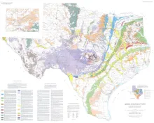
The Mineral Resources of Texas map is designed to illustrate the historical and current (as of 1976) distribution of industrial mineral occurrences and production sites in Texas. Distributions of major rock types used in the mineral industry are also shown, including limestone, dolomite, ceramic clay, nonceramic clay, iron, sand and gravel, trap rock, granite, industrial sand, extrusive igneous rocks, talc, salt, and sulfur. The map also emphasizes the contribution that Texas makes to the National economy, reflecting Texas's position as one of the Nation's leading mineral producers.
Potential geopressured geothermal reservoirs in the Vicksburg Formation are limited to Hidalgo County along the Lower Texas Gulf Coast. In Hidalgo County, an area of approximately 385 square miles (designated the Vicksburg Fairway) contains up to 1,300 feet of geopressured sandstones with fluid temperatures greater than 300°F. Inplace effective permeability, however, averages less than 1 millidarcy in the Vicksburg sandstones because of fine grain size and extensive late carbonate cementation.
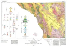
Geologic map that depicts surface geology of parts of Hudspeth, Culberson, Jeff Davis, and Presidio Counties, Texas. The 12-page explanatory booklet indicates geologic formations, abbreviations, and ages.