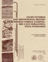
The Red Cave Formation (Permian, Leonard Series) in the Texas Panhandle consists of cyclic, red-bed clastic and carbonate-evaporite members that reflect deposition in extensive coastal sabkhas. These environments were bounded on the north by a desert wadi plain and on the south by a carbonate inner shelf that bordered the northern Midland Basin. Evaporite members were deposited in carbonate evaporite coastal sabkhas, and clastic members were deposited in mud-rich coastal to continental sabkhas that passed inland to wadi-plain environments.
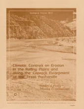
The climate of the Texas Panhandle is primarily semiarid continental, exhibiting a pronounced peak in precipitation during the months of May through July. Storm data from a 22-county study area show a pattern of heavy, localized rainfall with high (1 to 5 inches/h or 25 to 127 mm/h) rainfall intensities for periods of 5 to 60 minutes. These characteristics are typical of the thunderstorm rainfall of the area.