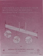
Gas reservoirs that water out under moderate to strong water drives are normally abandoned when the expenses associated with salt-water disposal make continued operations uneconomical. Under favorable conditions, however, watered-out reservoirs can continue to produce substantial quantities of gas at competitive prices if operators are prepared to dispose of large volumes of water. Enhanced gas recovery (EGR) techniques can extend production from many reservoirs that are now watering out and will soon be abandoned if conventional practices are followed.
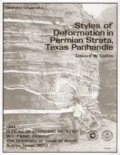
Permian strata in the Texas Panhandle exhibit a variety of deformation styles that are attributed to tectonic stresses as well as to collapse caused by evaporite dissolution. At Caprock Canyons State Park, deformation structures above salt dissolution zones include veins, faults, and folds. The geometry and distribution of the structures indicate that systematic regional joints older than the dissolution collapse have influenced salt dissolution.
Thirty-one low-permeability gas-bearing sandstones in 15 sedimentary basins were surveyed to delineate the major depositional systems and associated facies of each stratigraphic unit. The depositional system of each unit provides a basis of comparison between formations of different ages in different structural and sedimentary settings. Information as compiled on general attributes, economic factors, geologic parameters of the basin or trend, geologic and engineering parameters of the stratigraphic unit, and operating conditions at each formation or member.
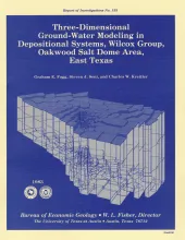
A three-dimensional model was constructed of ground-water flow in the Wilcox-Carrizo aquifer system near Oakwood salt dome to facilitate understanding the hydrogeology around salt domes of the Gulf interior region and ultimately to evaluate the hydrologic suitability of Oakwood Dome for storage of high-level nuclear waste. The data base includes not only measurements of hydraulic head and hydraulic conductivity but also lithofacies maps constructed in a previous study of Wilcox depositional systems.
Since early 1977, the Bureau of Economic Geology has been evaluating several salt-bearing basins within the State of Texas as part of the national nuclear waste repository program, The Bureau, a research unit of The University of Texas at Austin, is conducting a long-term program to gather and interpret all geologic and hydrologic information necessary to describe, delineate, and evaluate salt-bearing and related strata in the Pals Duro Basin and vicinity.


