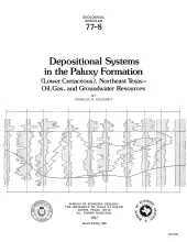
The Paluxy Formation is a stratigraphic unit which is composed of sandstone and shale and extends across the northern part of the East Texas embayment. Paluxy deposits were derived from sedimentary rocks to the north, and they accumulated in shoreface and coastal plain environments associated with an irregular southward regression of the shoreline. Preserved in the sedimentary mass are three major depositional systems: a centrally located delta system, a fluvial system in the north, and a strandplain system in the west.
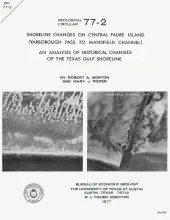
Historical monitoring along central Padre Island records the nature and magnitude of changes in position of the shoreline and vegetation line and provides insight into the factors affecting those changes.
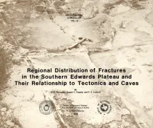
In order to better understand the control exerted by fractures on the recharge and production zones of limestone aquifers, the authors delineated surficial fracture zones in the southern Edwards Plateau, Texas. Lineations were marked on nearly 200 mosaics scale of 1:24,000. Approximately 400 fracture zones were identified on each mosaic.
Reservoir quality of lower Teritary sandstone reservoirs along the Texas Gulf Coast is controlled by sandstone depositional environment, mineralogical composition, and consolidation history (compaction, cementation, and leaching). In general, shallow reservoirs have primary porosity that is reduced by compaction andcementation, whereas deeperreservoirs result from late subsurface leaching.
Frio sandstones have the following idealized consolidation history:
Aquifers in the Houston-Galveston area are composed principally of fluvial-deltaic sediments. The Alta Loma Sand is a complexly faulted, high-sand-percent unit that represents a seaward progression of fluvial, delta-plain, and delta-front facies. The Beaumont Formation, overlying the Alta Loma Sand, is a high-mud-percent unit that represents a coastal progression of delta-plain to delta-front facies. Four arbitrarily defined intervals from land surface to 2000 ft indicate superposition of dip-oriented and strike-oriented high-sand-percent trends.