Publications in Texas
| Title | Publication Year Sort ascending | Abstract | Author | Series | Publisher | |
|---|---|---|---|---|---|---|
|
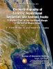
Chronostratigraphy of Cenozoic Depositional Sequences and Systems Tracts: A Wheeler Chart of the Northwest Margin of the Gulf of Mexico Basin | 2009 | A chronostratigraphic chart (Wheeler chart) was constructed of the Cenozoic strata of the northwest margin of the Gulf of Mexico basin (Texas coastal area). |
Brown, L.F., Jr., Loucks, R.G. | Report of Investigations | Bureau of Economic Geology |
|
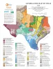
Industrial Minerals of Texas | 2008 | Kyle, J.R. | Thematic Maps | Bureau of Economic Geology | |
|
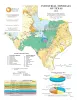
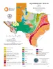
General Soil Map of Texas | 2008 | University of Texas at Austin, Bureau of Economic Geology | Thematic Maps | Bureau of Economic Geology | |
| |
Geologic map of the Glenn Spring quadrangle, Big Bend National Park, Texas | 2008 | Collins, E.W., Muehlberger, W.R., Dickerson, P.W. | Miscellaneous Map | Bureau of Economic Geology | |
|
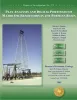
Play Analysis and Digital Portfolio of Major Oil Reservoirs in the Permian Basin | 2005 | Dutton, S.P., Broadhead, R.F., Breton, C.L., Raatz, W.D., Ruppel, S.C., Kerans, Charles | Report of Investigations | Bureau of Economic Geology | |
|
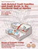
Salt-Related Fault Families and Fault Welds in the Northern Gulf of Mexico | 2003 | We classify salt-related faults and fault welds in the northern Gulf of Mexico on the basis of the three-dimensional geometry of the faults, welds, deformed strata, and associated salt bodies. |
Jackson, M.P.A., Rowan, M.G. | Report of Investigations | Bureau of Economic Geology |
|
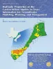
Hydraulic properties of the Carrizo-Wilcox aquifer in Texas: information for groundwater modeling, planning, and management | 2003 | Use of groundwater-flow models for prediction of future availability of water resources is standard practice. Having accurate hydraulic parameters for input into groundwater-flow models is critical to the generation of realistic local and regional water-resource management plans. |
Mace, R.E., Smyth, R.C. | Report of Investigations | Bureau of Economic Geology |
|
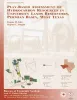
Play-based assessment of hydrocarbon resources in University Lands reservoirs, Permian Basin, West Texas | 2003 | Oil and gas resources on University Lands, 2.1 million acres in 19 West Texas counties, constitute a major asset of the University of Texas System. The original oil in place (OOIP) of the 102 major University Lands oil reservoirs is calculated to be 7,520 MMbbl. |
Kim, E.M., Ruppel, S.C. | Geological Circular | Bureau of Economic Geology |
|
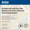
Geology and land use in the western part of the Gulf Coast coal-bearing region | 2002 | Warwick, P.D., Aubourg, C.E., Hook, R.W., SanFilipio, J.R., Barnes, V.E., Morrissey, E.A., Schultz, A.C., Karlsen, A.W. | Miscellaneous Map | Bureau of Economic Geology | |
|
Aquifers of Texas | 2001 | Hovorka, S.D. | Thematic Maps | Bureau of Economic Geology |