
This guidebook, Hydrogeology of Trans-Pecos Texas, grew out of our interest in the hydrogeology of desert environments. After we participated in Marty Mifflin and Jay Quade's 1988 field trip through eastern Nevada; we realized that, although there were many similarities, the hydrogeology of Trans-Pecos Texas was quite different from what we had observed in Nevada. Thus the seed was planted for this field trip and guidebook.
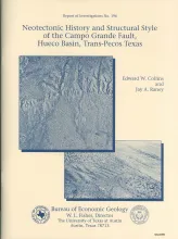
The Hueco Basin of Trans-Pecos Texas and Chihuahua, Mexico, formed in response to Basin and Range extensional tectonism that began about 24 Ma ago and continues to the present. The basin is curvilinear, with the northwestern part of the basin trending north to south and the southeastern part trending northwest to southeast. The Campo Grande fault is located in the southeastern part of the basin. Here the basin is asymmetrical, the thickest sediments having been deposited along the fault-bounded basin axis near the southwestern flank.
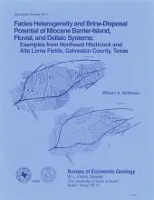
To recover gas remaining in solution, large volumes of brine must be produced from watered-out gas reservoirs in the Gulf Coast. Secondary gas recovery in a geopressured upper Frio (Oligocene) reservoir in Northeast Hitchcock and Alta Loma fields in Galveston County, Texas, requires the disposal of approximately 20,000 barrels of brine per day (bblld) into several disposal wells.
Occurrences of ground-water and soil salinization are numerous in the Concho River watershed and its confluence with the Colorado River in West Texas and in other semiarid regions of Texas and the United States. Salinization results from both natural and anthropogenic processes, which can occur together or separately. To recognize regional salt-water sources and understand salinization mechanisms in the Concho River valley, we investigated chemical and physical characteristics associated with saline ground water.