
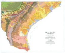
This large, 4-sheet geologic map displays more than 350 lithostratigraphic units ranging in age from Precambrian to Quaternary. In addition to the bedrock and unconsolidated surficial units, the map shows many major cultural features, such as county boundaries, cities, state and federal highways, and railroad lines. Each sheet measures 3.6 x 4.3 ft; if assembled together finished size is 7.2 x 8.6 ft. Sold as a set.
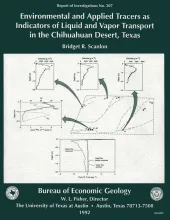
Chemical and physical approaches are used to study unsaturated flow; however, few studies include an in-depth analysis of data from both approaches. Detailed chemical tracer studies were conducted at a site in the Chihuahuan Desert of Texas, and the results were compared with hydraulic attributes of the system. Estimated soil-moisture fluxes from both chemical and physical approaches were compared to better understand the hydrologic processes in the unsaturated zone.Chemical tracer studies included mass balance of the chloride ion.
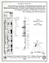
The Gas Research Institute, U.S. Department of Energy, and the State of Texas cooperated in joint-venture research to evaluate the infield reserve growth potential of mature gas fields containing conventional reservoirs. Whole cores from fluvial (middle Frio) and deltaic (Vicksburg and Wilcox) reservoirs of the Gulf Coast Basin were compared to diverse types of well logs, analyzed for diagenetic alteration, and calibrated to porosity, permeability, and petrophysical parameters.
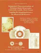
Unrecovered mobile oil is oil that is movable at reservoir conditions but is prevented from migrating to existing we1 l bores because of geologic complexities or heterogeneities. To assess the potential for incremental recovery of unrecovered mobile oil from reservoirs owned by The University of Texas System, the volumes of unrecovered mobile oil remaining in reservoirs on University Lands were quantified through integrated characterization of individual reservoirs.
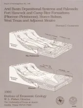
The Hueco Bolson is a segment of the Rio Grande Rift that formed as a result of late Tertiary Basin and Range deformation. The upper Tertiary Fort Hancock Formation and the upper Tertiary-Quaternary Camp Rice Formation compose the basin fill except in the deepest (western) parts of the bolson. Five lithofacies form the Fort Hancock Formation: (I) gravel; (II) sand, sandy mud or sandy silt, and gravel; (III) sand, sandy mud, and sandy silt; (IV) clay and sandy clay; and (V) clay, mud, sandy mud, and gypsum.