
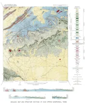
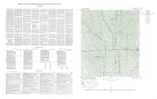
Wendel quadrangle is entirely within the Edwards Plateau province and is situated southwest of the Llano region.
The geology of the Wendel quadrangle is shown on a planimetric map, and the only topographic map available is the reconnaissance 30-minute Kerrville quadrangle. Elevations ranging between 2,041 and 2,284 feet were determined during traversing for control, but neither the highest nor the lowest elevation was reached. However, it is estimated that the relief within the quadrangle is about 270 feet, ranging between 2,020 and 2,290 feet.
Preparation of a desk-side reference manual of Cretaceous foraminifera was undertaken as a project of the Bureau of Economic Geology, where I was a staff member during the summers of 1945 to 1947 and during July of 1951. Although the Handbook is intended primarily for the advanced college-level student and routine commercial laboratory micropaleontologist, it should be useful as well to the specialist. The accuracy of a compilation of this kind is never greater than that of the sources from which it is taken, and errors of transcription and interpretation are unavoidable.
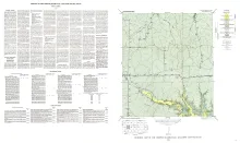
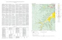
Harper quadrangle is in the Edwards Plateau province south of the Llano region. The plateau surface within the quadrangle is dissected by the Pedernales River and its tributaries in the southern part, and by Threadgill and Edwards Creeks in the northern part.