
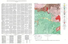
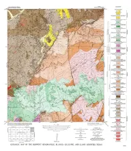
North Grape Creek quadrangle is south of the Llano region and is mostly in the broad Pedernales River basin. A few outliers of the Edwards Plateau are present in the western part of the quadrangle.
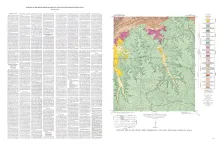
The Squaw Creek quadrangle is partly within the Llano region and partly within the Edwards Plateau province. The Edwards Plateau is continuous along the southern border of the quadrangle, but erosion has dissected it until long fingers extend northward, the most important being between Mormon and Squaw Creeks and east of Squaw Creek. The geology of the Squaw Creek quadrangle is shown on a planimetric map, and the only topographic map available is the reconnaissance 30-minute Kerrville quadrangle.
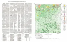
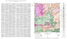
Stonewall quadrangle is south of the Llano region and is in the marginal portion of the Edwards Plateau where much of the plateau surface has been destroyed by erosion. Along the southern edge, lobes of the Edwards Plateau are present, which coalesce southward to form a continuous narrow east-west plateau belt � part of which is just south of the Stonewall quadrangle. Most of the quadrangle is within the gently undulating, broad Pedernales River basin.