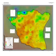
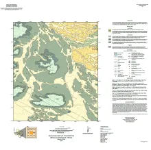
A series of two 1:500,000 scale maps showing the Geothermal resources of South Texas.
Lowstand valley fill and shelf-edge deltaic deposits in the Tannehill sandstone (Wolfcampian Cisco Group) in the Eastern Shelf of the Permian Basin are major targets for oil and gas exploration. The most-productive trends link coarse-grained alluvial systems in Baylor County to shelf-edge and upper-slope deepwater systems in Dickens County.
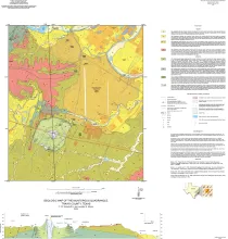
This map presents a graphic means for engineers, planners, and property owners to recognize and cope with the changes in substrate properties across this fault zone. Fault displacement has created a profound and abrupt change in land-use capabilities in this area. That is, the stable ground of the Austin Group is juxtaposed against the weak, plastic claystone units that make up the Taylor and Navarro Groups of Upper Cretaceous age. The mapping also explores the occurrence of a Late Cretaceous marine volcano, Pilot Knob, that is exposed in the south-central part of this quadrangle.
The hydromechanical properties of the uppermost basement and of the basement–sediment interface influence multiple geologic processes of societal relevance, including the flow of groundwater; the accumulation of hydrocarbons, economic minerals, and geothermal resources; and the response of seismogenic faults to wastewater disposal. Lithologic, structural, and metamorphic fabric; uplift; weathering and alteration history; and the nature of the overlying strata all play roles in controlling these hydromechanical properties.


