Oversized posters on various topics and in various sizes
Posters
-
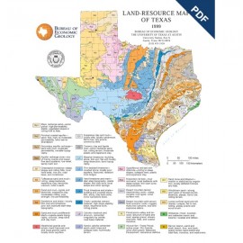
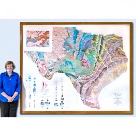
Land Resource Map of Texas Poster. Digital... Land Resource Map of Texas Poster. Digital...
$0.00Land Resources of Texas Map, Poster. Digital Version.For a print version: SM0007P. Land Resources of Texas Map, Poster....
In Stock -
Land Resource Map of Texas Poster Land Resource Map of Texas Poster
$20.00Land Resources of Texas Map, Poster. Print Version.For a downloadable, digital version: SM0007PD. Land Resources of Texas Map, Poster....
Out of stock -
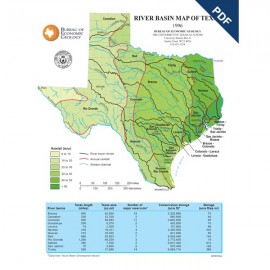
River Basin Map of Texas Poster. Digital... River Basin Map of Texas Poster. Digital...
$0.00River Basins of Texas Map, Poster. Digital Version.For a print version: SM0006P. River Basins of Texas Map, Poster....
In Stock -
River Basin Map of Texas Poster River Basin Map of Texas Poster
$20.00River Basin Map of Texas, Poster, 1996. Print Version.For a downloadable, digital version: SM0006PD. River Basin Map of Texas, Poster,...
In Stock -
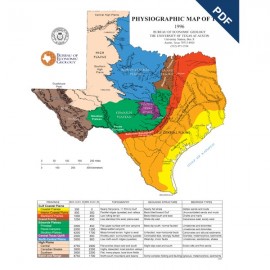
Physiographic Map of Texas Poster. Digital... Physiographic Map of Texas Poster. Digital...
$0.00Physiographic Map of Texas, Poster. Digital Version.For a print version: SM0005P. Physiographic Map of Texas, Poster....
In Stock -
Physiographic Map of Texas Poster Physiographic Map of Texas Poster
$20.00Physiographic Map of Texas, Poster. Print Version.For a downloadable, digital version: SM0005PD. Physiographic Map of Texas, Poster....
In Stock -
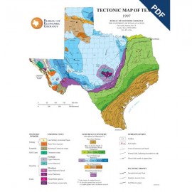
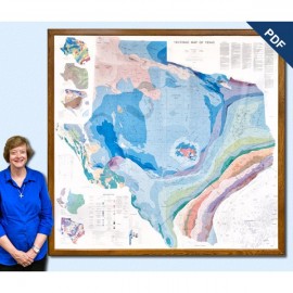
Tectonic Map of Texas Poster. Digital... Tectonic Map of Texas Poster. Digital...
$0.00Tectonic Map of Texas, Poster, map scale: 1 inch = 100 miles. 1994. Digital Version.For a print version: SM0004P. Tectonic Map of Texas, Poster, map...
In Stock -
Tectonic Map of Texas Poster Tectonic Map of Texas Poster
$20.00Tectonic Map of Texas, Poster, 1994. Print Version.For a downloadable, digital version: SM0004PD. Tectonic Map of Texas, Poster, 1994....
Out of stock -
Geologic Map of Texas (4 sheets) Geologic Map of Texas (4 sheets)
$30.00Geologic Map of Texas. V. E. Barnes, compiler. Four oversized color sheets, scale 1:500,000, 1992. Each sheet measures 3.6 x 4.3 ft; if assembled together finished size is 7.2 x 8.6 ft. Sold as a set. Print Version.For a downloadable, digital version: SM0003D. Geologic Map of Texas. V. E. Barnes,...
In Stock -
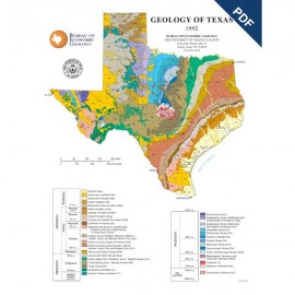
Geology of Texas Poster. Digital Download Geology of Texas Poster. Digital Download
$0.00Geology of Texas, Poster, 1992. Digital Version.For a print version: SM0002P. Geology of Texas, Poster, 1992....
In Stock -
Geology of Texas Poster Geology of Texas Poster
$20.00Geology of Texas, Poster, approximately 35 inches wide by 42 inches long, 1992. Print Version.For a downloadable, digital version: SM0002PD. Geology of Texas, Poster,...
In Stock -
Tectonic Map of Texas. Digital Download Tectonic Map of Texas. Digital Download
$25.00Tectonic Map of Texas and accompanying text. T. E. Ewing, compiler. Scale 1:750,000. PDF, Lambert Conformal Conic projection based on standard parallel 33 degrees and 45 degrees, 1991. Accompanied by a text booklet, The Tectonic Framework of Texas, 36 p., 1991. Digital Version.For a print version: SM0001. Tectonic Map of Texas and...
In Stock
