|
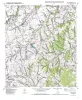
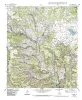
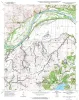
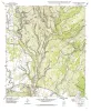
Geologic map of the Elgin West Quadrangle, Texas |
Collins, E.W. |
2000 |
Open-File Map |
|
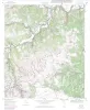
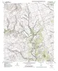
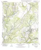
Geologic map of the Vanderpool quadrangle, Texas |
Collins, E.W. |
2000 |
Open-File Map |
|
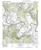
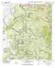
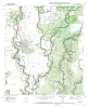
Geologic map of the Lake Bastrop Quadrangle, Texas |
Collins, E.W. |
2000 |
Open-File Map |
|
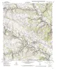
Geologic Map of the New Braunfels, Texas, 30x60 Minute Quadrangle |
Collins, E.W. |
2000 |
Miscellaneous Map |
|
Geologic map of the Structure Quadrangle, Texas |
Collins, E.W. |
2000 |
Open-File Map |
|
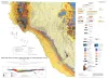
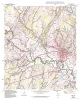
Geologic Map of West Hueco Bolson, El Paso Region, Texas |
Collins, E.W., Raney, J.A. |
2000 |
Miscellaneous Map |
|
Geologic map of the Utley Quadrangle, Texas |
Collins, E.W. |
2000 |
Open-File Map |
|
Geologic map of the Briggs quadrangle, Texas |
Collins, E.W. |
1999 |
Open-File Map |
|
Geologic map of the Nameless Quadrangle, Texas |
Collins, E.W. |
1999 |
Open-File Map |
|
Annual Report of the Bureau of Economic Geology 1999 |
University of Texas at Austin, Bureau of Economic Geology |
1999 |
Annual Reports |
|
Geologic map of the Flat Rock Crossing Quadrangle, Texas |
Collins, E.W. |
1999 |
Open-File Map |
|
Geologic map of the Luling quadrangle, Texas |
Collins, E.W. |
1999 |
Open-File Map |
|
Geologic map of the Prairie Valley School quadrangle, Texas |
Collins, E.W. |
1999 |
Open-File Map |
|
Geologic map of the Mahomet Quadrangle, Texas |
Collins, E.W. |
1999 |
Open-File Map |
|
Geologic map of the Flat Rock Creek SW quadrangle, Texas |
Collins, E.W. |
1999 |
Open-File Map |
|
Geologic map of the Liberty Hill Quadrangle, Texas |
Collins, E.W. |
1999 |
Open-File Map |
|
Geologic map of the Mud Creek North quadrangle, Texas |
Collins, E.W. |
1999 |
Open-File Map |
|
Geologic map of the Mud Creek South quadrangle, Texas |
Collins, E.W. |
1999 |
Open-File Map |
|
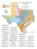
Land-Resource Map of Texas |
Wermund, E.G. |
1999 |
Thematic Maps |
|
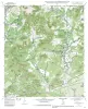
Geologic map of the Sabinal quadrangle, Texas |
Collins, E.W. |
1999 |
Open-File Map |