Publication Details
Geolocation:
Get the Publication
Abstract/Description:
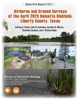
On Sunday, April 2, 2023, a sinkhole formed on the northwestern flank of the Hull salt dome in the city of Daisetta, Texas (fig 1). This nearly circular sinkhole (figs 2 and 3), having a water-filled diameter of about 70 m, is located adjacent to the southwestern edge of the larger 2008 Daisetta sinkhole. At the request of the Liberty County Office of Emergency Management, Bureau researchers visited the sinkhole on April 8, 2023 to map concentric fissures and scarps around the new sinkhole; conduct a drone-based, structure-from-motion survey to obtain high-resolution images and construct a post-collapse topographic map of the sinkhole area; measure water depth in both sinkholes; acquire differential GPS elevations for drone imagery georeferencing and elevation-change detection; and use a passive seismic method to estimate the depth to cap rock or salt along the highway near the sinkhole. Data acquired during the initial site visit is intended to provide useful information on the sinkhole (including affected area, water depth, and expansion potential) to emergency responders and the public.
