
Sequential shoreline monitoring, using vintage chans and aerial photographs, documents temporal and spatial variations in historical Gulf shoreline changes. The regional distribution of shoreline erosion and accretion largely reflects changes in littoral drift cells, decreases in sediment supply, and continuing relative sea-level rise including compactional subsidence. A Late Quaternary (circa 3500 BP) shoreline is postulated with promontories at the Holocene Brazos.
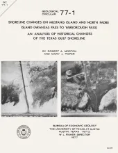
Historical monitoring along Mustang and north Padre Islands records the nature and magnitude of changes in position of the shoreline and vegetation line and provides insight into the factors affecting those changes.
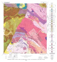
The Catahoula Formation of the Texas Gulf Coastal Plain consists of two depositional systems--the Gueydan bedload fluvial system of the Rio Grande embayment and the Chita-Corrigan mixed load fluvial system of the Houston embayment. Both systems contain distinctive fluvial channel-fill, crevasse splay, floodplain, and lacustrine facies, which tend to persist vertically through the section. The paleoclimate varied from subarid in the Gueydan system to humid in northeastern parts of the Chita-Corrigan system.
Three principal depositional systems were defined within the Sparta Formation of Texas using surface and subsurface data: high-constructive delta system in east Texas; strandplain-barrier bar system in central Texas; and high-destructive, wave-dominated delta system in south Texas.