
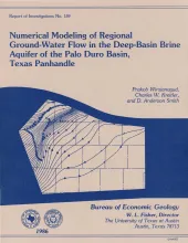
A conceptual hydrogeologic model of the Palo Duro Basin, Texas Panhandle, subdivides the basin into three hydrogeologic units: (1) the shallow Ogallala and Dockum aquifers (Upper aquifer), (2) the Permian evaporite aquitard (Evaporite aquitard), and (3) the deep, confined, underpressured, principally Permian and Pennsylvanian brine aquifer (Deep-Basin Brine aquifer).
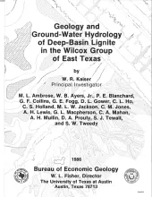
Near-surface lignite resources in Texas, or those under less than 200 feet (61 m) of cover, are ample to meet the state's demand for lignite in this century. However, meeting demand in the early decades of the next century and beyond will require the recovery of lignite resources below 200 feet (61 m) in the deep basin. Ultimately, the economics of recovery and use of these deep resources will be governed by their quantity, depth, quality, and hydrogeologic suitability.
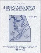
Changes in shoreline position occurring for more than a century provide estimates of the relative stability of shorelines and, along the Texas coast, allow comparisons of shoreline changes before and after human modifications became significant.
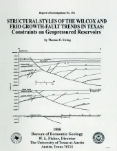
The wide variability in structural styles within the growth-faulted, geopressured trends of the Texas Gulf Coast is illustrated by detailed structural maps of selected areas of the Wilcox and Frio growth-fault trends and quantified by statistical analysis of fault compartment geometries. Structural variability is a key determinant of the size of geopressured aquifers in the deep subsurface.Two major structural styles exist in the Wilcox trend.
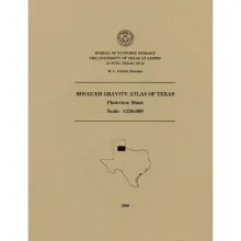
This folded transparent map is at the same scale as its corresponding Geologic Atlas of Texas (GAT) sheet and can be superimposed on it to compare gravity information with surface geology.