
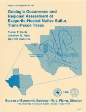
In the western Delaware Basin and southern Central Basin Platform of Trans-Pecos Texas, Upper Permian (Ochoan) evaporite strata host locally voluminous but notoriously unpredictable, sporadic deposits of biogenic native sulfur. The two sulfur-bearing regions, the Rustler Springs (Culberson and Reeves Counties) and Fort Stockton (Pecos County) sulfur districts, encompass about 2,000 State-owned tracts that are widely distributed throughout the two districts.
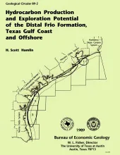
Along the Texas Gulf shoreline and offshore, the distal margin of the Frio Formation is a deep hydrocarbon province that is underexplored relative to the onshore Frio. Thick shelf and slope mudstones constitute most of the distal Frio, but deltaic, barrier/strandplain, shelf, and slope sandstones also occur, some of which are good reservoirs and established producers.
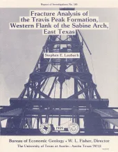
Successful development of low-permeability-sandstone gas reservoirs depends on an understandingof their natural fracture patterns and on predictions of the orientation of horizontal stresses.This report describes the preliminary results of fracture analysis of the Lower Cretaceous TravisPeak Formation, a tabular sandstone and shale unit approximately 2,000 ft (610 m) thick thatproduces gas from low-permeability (less than 1 md) sandstone in much of East Texas. Depth to thetop of the formation ranges between 5,900 and 9,500 ft (1,798 and 2,895 m) in the study area.
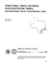
These cross sections illustrate the regional structure and stratigraphy beneath the Texas continental shelf . The Plio-Pleistocene Series in the western Gulf Coast basin comprises a thick wedge of terrigenous clastic sediment that produces modest volumes of hydrocarbons from offshore leases along the outer shelf and upper slope. Sandstone reservoirs within this wedge have yielded more than 40 million bbl of oil and 2.5 Tcf of gas.
The State-owned submerged lands of Texas encompass almost 6,000 mi2 (15,540 km2). They lie below waters of the bay-estuary-lagoon system and the Gulf of Mexico and extend 10.3 mi (16.6 km) seaward from the Gulf shoreline (fig. 1). The importance of these lands and their resources to resident flora and fauna as well as to people is well known and documented; more than one-third of the state's population is concentrated within an area of the Coastal Zone that is only about one-sixteenth of the state's land area.