STATEMAP Project Maps
Oversize, color geologic maps on a topographic base, scale 1:24,000, depicting various geologic quadrangles in Texas, with informal text booklet, 1990's to the present
STATEMAP Project Maps
-

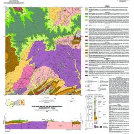
Bandera Quadrangle, Texas Bandera Quadrangle, Texas
$15.00Geologic Map of the Bandera Quadrangle, Texas, by E. W. Collins. Oversize geologic map on a color topographic base, scale 1:24,000, with accompanying explanatory sheet, 1997. Print Version.For a downloadable, digital version: OFM0001D. Geologic Map of the Bandera...
 In Stock