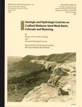
Coalbed methane production has been established in the Sand Wash Basin. Large coal resources, gas shows during drilling of coal beds, and high gas contents in some coals triggered initial development along the basin margins. Results to date have been disappointing. Coalbed wells have yielded little gas and large volumes of water. In the absence of a regional analysis, neither production data nor the basin's ultimate coalbed methane potential could be fully evaluated.
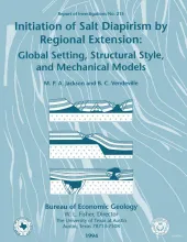
Initiation of diapirs is one of the least understood aspects of salt tectonics. Sedimentary differential loading and erosion are both effective, but not universal, causes of diapir initiation. A survey of 18 major salt-diapir provinces shows that salt upwelling is closely linked in time and space to regional extension. Extended salt basins typically develop salt structures, whereas nonextended basins do not.
Geologic and engineering studies were conducted within fluvial/deltaic strata of a mature South Texas field to determine the impact of reservoir compartmentalization on secondary gas recovery. Stratton is one of several mature South Texas fields containing fluvial and deltaic gas reservoirs. This study documents the effect of depositionally controlled reservoir heterogeneity in a field with fluvially dominated reservoir architecture.


