
Publication Year
1932
Publisher
Series
Miscellaneous Map
Publication Year
1932
Publisher
Series
Mineral Resource Circular
Publication Year
1931
Publisher
Series
Mineral Resource Circular
Publication Year
1929
Publisher
Series
Miscellaneous Map
Abstract
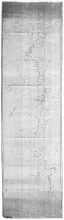
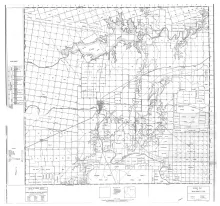
These are 21 Texas county maps made in cooperation with the American Association of Petroleum Geologists and Society of Economic Paleontologists and Mineralogists, issued between 1929 and 1932 and revised in 1937. They show surface geology with columnar sections; no structure or oil field data are included. Scale 1 inch equals 4,000 feet, except the map for Brown County, which was revised in 1951 to scale 1 inch equals 1 mile.
Publication Year
1929
Publisher
Series
Miscellaneous Map