
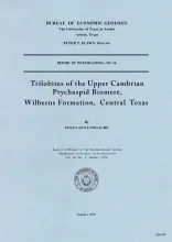
Trilobites collected during the past 20 years from the Morgan Creek, Point Peak, and San Saba Members of the Wilberns Formation comprise 89 species assigned to 45 genera belonging to zones of the upper Franconian and Trempealeauan Stages of the Upper Cambrian Croixan Series. New zonal names are proposed in the interest of a regionally applicable nomenclature. Although none of the zonal nomenclature is identical to that of the 1944 Cambrian Correlation Chart of Howell�et al.,�the four zones recognized in central Texas are equivalent to the eight highest zones on the Chart.
In the United States the average citizen produces 6 to 8 pounds of solid wastes per day--this includes his personal contribution plus his pro-rata share of industrial and agricultural wastes. A city of 200,000 to 300,000 people is faced with collecting, transporting, and disposing of about 400 tons to 500 tons of solid wastes every day. This is the amount produced by the residents and small businesses--it does not include the wastes from big industrial operations.
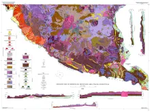
The Bofecillos Mountains area of Trans-Pecos Texas contains a Tertiary volcanic vent and a varied sequence of lava flows, tuff, ash-flow tuff, and associated conglomerate, sandstone, and mudrock; after most of the volcanic activity had ceased, the area was block faulled and later dissected into a rugged high-standing terrain with striking exposures.
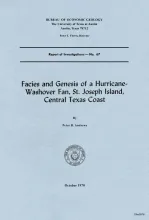
Two distinctive subaerial physiographic features that form a substantial portion, by area, of most barrier islands along the Texas coast are the washover fan and the tidal delta. Volumetrically, washover fan deposits and tidal delta deposits form a significant part of each barrier island. The facies types characteristic of these features, together with their geometry and relationships to sediment of the barrier island nucleus on one side, and bay margin on the other, have not been previously described.
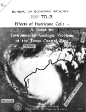
At 10 pm (CDT) on Friday, July 31, 1970, a tropical squall struck the western tip of Cuba causing property damage and the loss of 5 lives. Twelve hours later at 10 am (CDT), Saturday, August 1, the tropical depression had moved 150 miles northwest and had intensified into Tropical Storm Celia. At 5 pm (CDT) the same day, Celia was located about 225 miles northwest of Cuba with 75-mile-per-hour cyclonic winds classifying her as a full-fledged hurricane.