
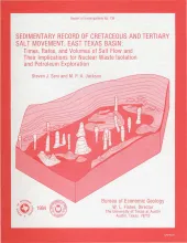
Post-Aptian strata (younger than 112 ma) in the East Texas Basin were strongly influenced by halokinesis and recorded the evolution associated sate structures. Comparisons with model diapirs and dome-induced changes in patterns of sandstone distribution, depositional facies, and reef growth indicate that thickness variations in strata surrounding domes were caused by syndepositional processes rather than by tectonic distortion. Salt domes in the East Texas Basin exhibit three stages of growth: pillow, diaper, and postdiapir. Each stage affected surrounding strata differently.
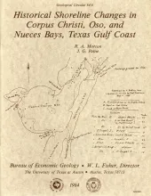
Changes in the position and stability of shorelines around Corpus Christi, Oso, and Nueces Bays, Texas Gulf Coast, were documented using historical-monitoring techniques.
This report summarizes results of the East Texas Waste Isolation (ETWI) program from January 1, 1978, to March 30, 1983. Having an extensive data base, the study comprised 33 different lines of research by 67 scientists and research assistants. The program included both basinwide and site-specific (mainly around Oakwood Dome) studies that used surface and subsurface data.
Data collected during the last 5 years on the 15 shallow salt diapirs that extend upward to shallow depths (<4,000 ft, 1,220 m) in the East Texas Basin are presented here in graphical and tabular form. East Texas Basin salt diapirs penetrate and have controlled the deformation of Jurassic and younger units in the central part of the basin. The regional geologic setting of the salt diapirs is summarized, and the meaning and significance of descriptive terms are discussed. This compendium contains both primary and secondary data.
Deep-water sandstones of the Oligocene-age Hackberry unit of the Frio Formation contain significant quantities of oil and gas and remain potentially one of the most productive exploration targets in southeast Texas. The Hackberry is a wedge of sandstone and shale containing bathyal fauna that separates upper Frio barrier-bar - strandplain sandstones from lower Frio neritic shale and sand. Major Hackberry sandstones lie atop a channeled unconformity that forms the base of the unit.