
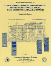
Pre-Pennsylvanian rocks in the Palo Duro Basin include (1) basal transgressive marine Cambrian(?) sandstones deposited over Precambrian basement, (2) overlying Lower Ordovician dolomites of the Ellenburger Group that formed when shallow seas covered much of the North American continent, and(3) Mississippian limestones and dolomites deposited when the area was inundated again after middle Paleozoic uplift and erosion. A generally similar stratigraphic sequence exists in the adjacent Dalhart and Hardeman Basins.
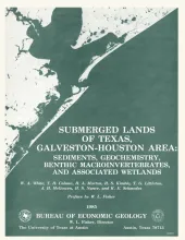
The State-owned submerged lands of Texas encompass almost 6,000 mi2 (15,540 km2). They lie below waters of the bay-estuary-lagoon system and the Gulf of Mexico and extend 10.3 mi (16.6 km) seaward from the Gulf shoreline (fig. 1). The importance of these lands and their resources to resident flora and fauna as well as to people is well known and documented; more than one-third of the state's population is concentrated within an area of the Coastal Zone that is only about one-sixteenth of the state's land area.
Large areas of offshore Texas remain unexplored even though sedimentary facies and structural traps favor the generation and accumulation of hydrocarbons. Rapid deposition of sand-rich deltaic and barrier-strandplain facies that prograded over thick prodelta, shelf, and slope muds initiated contemporaneous faulting, resulting in displacements of as much as 10,000 ft ( 3 km) .The steep fault surfaces extend to great depths at delta depocenters along former shelf margins.