
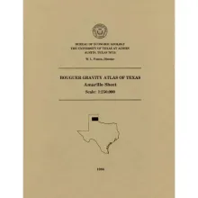
This folded transparent map is at the same scale as its corresponding Geologic Atlas of Texas (GAT) sheet and can be superimposed on it to compare gravity information with surface geology.
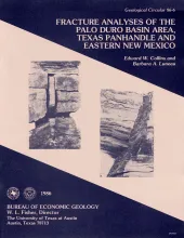
Fractures and veins in strata of the Palo Duro Basin area, Texas Panhandle and eastern New Mexico, are characterized using data from outcrop and core studies and from fracture identification log analysis. Fractures are associated with faults and folds that occur along the margins of the Palo Duro Basin and in relatively undeformed strata within the central basin area. Along the Amarillo Uplift, strikes of fractures in Permian and Triassic rocks differ from fracture orientations in overlying Tertiary strata.
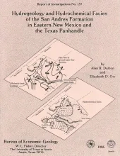
Fluid pressure, permeability, rates and patterns of ground-water flow, and chemical and isotopic composition of ground water in carbonate rock in the lower part of the San Andres Formation (Permian) in eastern New Mexico and the Texas Panhandle were studied to characterize the origin and movement of brine within an evaporite-carbonate-shale confining system.
Statistical analysis of chemical data on Texas Eocene coals revealed startigraphic and geographic trends in lignite quality. Chemical data on near-surface coals wre obtained from various private and public sources. Seams from deep-basin coals were compared. Wilcox coals are the best for combustion processes, Yeagua coals are intermediate, and Jackson coals are the poorest. Wilcox Group coals, in the Sabine Uplift particularly, are borderline lignite A to subbituminous C in rank in both the near surface and the deep basin. Jackson Group coals are lignite A in the near surface.