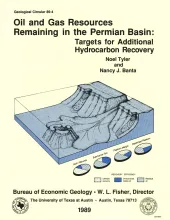
Reservoirs in the Permian Basin of Texas are estimated to have contained a total of 105.7 billion barrels (Bbbl) of oil at discovery. As of January 1985, these reservoirs had produced a cumulative volume of 25.3 Bbbl of oil, and proved reserves were calculated at 5.9 Bbbl. Thus, of original oil in place, and given a projected recovery efficiency of less than 30 percent at current development and technology, 74.5 Bbbl of oil will remain in Permian Basin reservoirs at depletion. Eighty-eight percent of this unrecovered oil lies at depths of less than 8,000 ft.
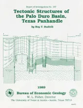
The Palo Duro Basin is a broad structural low in the southern Texas Panhandle that formed as a result of nearly continuous Pennsylvanian and Permian subsidence. True complexity of this basin is unknown because of the sparsity of structural information. However, surface and subsurface studies, including examinations of outcrop, well log, and seismic reflection data, indicate that structures within and adjoining the basin consist primarily of small, fault-bounded, isolated, positive basement areas and poorly defined subbasins.
Four clastic depositional sequences compose the lower part of the Triassic Dockum Formation in the Palo Duro Basin. Each sequence consists of a basal interbedded mudstone and interbedded siltstone succession overlain by an upper succession of sandstone containing minor conglomerate, siltstone, and mudstone beds. Regional cross sections indicate that the lower parts of sequences typically thicken basinward, whereas the upper sandy partsnbecome more discontinuous basinward and upsection.