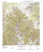
Six interlocking regional stratigraphic cross sections of Lower Cretaceous strata (middle Albian-lower Cenomanian) of the Edwards and Stockton Plateaus of West Texas illustrate the vertical and lateral extent of lithostratigraphic units and distribution of facies and facies tracts. Facies maps, prepared along selected horizons and thought to represent a brief period of time, and maps illustrating features along critical stratigraphic boundaries are interpreted to illustrate paleoenvironmental distributions through time, as well as stratigraphic relationships.
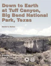
Written for a nontechnical audience, this guide describes the Tuff Canyon area in detail and includes a glossary of terms that might be unfamiliar to non-geologists. Color photographs and sketches depict the geologic features, fauna, and flora of this part of Big Bend National Park. Geologic and topographic maps of the Tuff Canyon area provide a rich context for visitors who can explore the trails while learning about the landscape and history of the area.
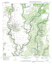
This report summarizes results of an integrated geological, geophysical, petrophysical, and engineering study of a representative Delaware Mountain Group field to identify constraints on producibility in the deep-water sandstone reservoir exhibiting low primary recovery efficiency. The Ramsey sandstone interval of the Bell Canyon Formation was characterized in the Ford Geraldine unit, Culberson and Reeves Counties, Texas, using data from outcrops, subsurface logs and cores, and a 3-D seismic survey.