
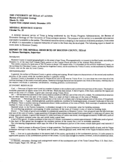
Houston County is located geographically in the center of east Texas. Physiographically, it is located in the Red Lands, according to Deussen (I), of the west Gulf Coastal Plains section of the Coastal Plains province of the Atlantic Plain division. The county consists of a land area of 762,752 acres or about 1,192 square miles. It is bounded on the north by Anderson County, on the northeast by Cherokee County, on the east by Angelina County, on the southeast by Trinity County, on the southwest by Madison County, and on the west by Leon County.
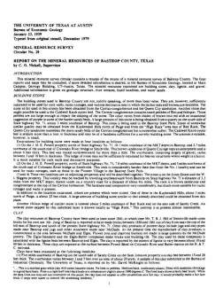
This mineral resource survey circular contains a resume of the results of a mineral resource survey of Bastrop County. The final reports and maps may be consulted, if more detailed information is desired, at the Bureau of Economic Geology, located at Main Campus, Geology Building, UT-Austin, Texas. The mineral resources examined are building stone, clay, lignite, and gravel. Additional information is given on geologic structure, river terraces, fossil localities, and water sands.
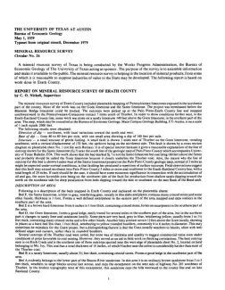
The mineral resources survey of Erath County included plane table mapping of Pennsylvanian limestones exposed in the northwest part of the county. Most of the work was on the Goen Limestone and the Santo Limestone. The project was terminated before the Brannon Bridge Limestone could be studied. The outcrops were picked up at the Palo Pinto-Erath County line and mapped southwestward to the Pennsylvanian-Cretaceous contact, 7 miles south of Thurber.
Gravel deposits are found in Henderson County in the stream terrace deposits of the Trinity River and its tributary, Cedar Creek. These deposits were examined in detail in the vicinity of Trinidad. It was found that four terrace levels contain gravel. The top of the lowest of these terraces is 10 to 15 feet above the level of the floodplain, and the base of the terrace is below floodplain level. The gravel lies in the lower part of the terrace deposit, with the upper part consisting of loam and silt.