
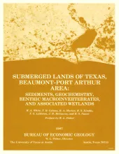
The State-owned submerged lands of Texas encompass almost 6,000 mi2 (15,540 km2). They lie below waters of the bay-estuary-lagoon system and the Gulf of Mexico and extend 10.3 mi (16.6 km) seaward from the Gulf shoreline (fig. 1). The importance of these lands and their resources to resident flora and fauna as well as to people is well known and documented; more than one-third of the state's population is concentrated within an area of the Coastal Zone that is only about one-sixteenth of the state's land area.
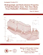
Ground water that moves downward from aquifers in clastic rocks of the Triassic Dockum Group and Neogene Ogallala Formation dissolves bedded halite and anhydrite in the Upper Permian evaporite section along the perimeter of the Southern High Plains in the Texas Panhandle. Ground-water velocity in salt-dissolution zones beneath the Canadian River valley and Rolling Plains may be greater than ground-water velocity in salt-dissolution zones beneath the Southern High Plains because of greater hydraulic conductivity and greater hydraulic-head gradient.
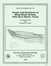
Porous and permeable strata of the Deep-Basin Brine aquifer underlie bedded evaporites that are being considered as repositories for high-level nuclear waste isolation in the Palo Duro Basin, Texas Panhandle. Formation-water samples collected from four U.S.
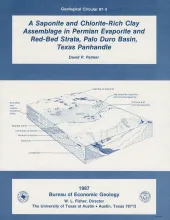
Permian strata in the Palo Duro Basin consist of multicyclic sequences of carbonate, nodular and laminated anhydrite, bedded halite, chaotic mudstone-halite, and terrigenous clastic sediments. These evaporite lithofacies record deposition in a shallow-water marine evaporate shelf depositional system. Clastic sediment derived from surrounding highlands contributed aluminous detritus to the basin, including aluminum-rich smectite, illite, and mixed-layer illite/smectite clays.
Lineament analysis was used to study the relationship between subsurface structure and surficial features in East Texas, southeastern Oklahoma, southwestern Arkansas, and northwestern Louisiana-areas of low topographic relief, moderate vegetation cover, and diverse land use. More than 2,200 lineaments were mapped from four standard 1:250,000-scale Landsat Thematic Mapper images. Operator error and data-base variation were evaluated in areas of sidelap between adjacent images.