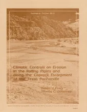
The climate of the Texas Panhandle is primarily semiarid continental, exhibiting a pronounced peak in precipitation during the months of May through July. Storm data from a 22-county study area show a pattern of heavy, localized rainfall with high (1 to 5 inches/h or 25 to 127 mm/h) rainfall intensities for periods of 5 to 60 minutes. These characteristics are typical of the thunderstorm rainfall of the area.
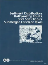
The State-owned submerged lands of Texas encompass nearly 6,000 square miles (15,540 km²) and extend from Mexico to Louisiana. The area includes the bays, estuaries, and lagoons, as well as the inner continental shelf 10.3 miles (16.6 km) seaward of the Gulf shoreline (fig. 1). Many uncertainties exist regarding the future utilization of the State submerged lands, and one cannot anticipate all potential uses for these areas.
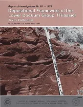
The Upper Triassic Dockum Group of Texas and New Mexico is composed of 200 to 2,000 feet of complexly interrelated terrigenous clastic facies ranging from mudstone to conglomerate. The lower 200 to 1,000 feet of the Dockum accumulated in a fluvial-lacustrine basin defined by the Amarillo Uplift - Bravo Dome on the north and the Glass Mountains on the south.
Bastrop, Blanco, Burnet, Caldwell, Fayette, Hays, Lee, Llano, Travis, and Williamson Counties make up the Capital Area Planning Council (CAPCO) region in Central Texas (fig. 1). The region covers 8,427 square miles (21,826 km2) and includes land of great physical diversity. It contains five geographic provinces with elevations ranging from 187 to 1,904 feet (57 to 581 m) above sea level. Parts of four river systems cross the area. Six major categories of soils as well as six natural vegetation assemblages are present.