|
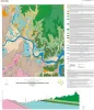
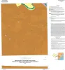
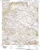
Geologic map of the Smithwick quadrangle, Texas |
Woodruff, C.M., Jr. |
2014 |
Open-File Map |
|
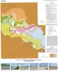
Geologic map of the Poteet quadrangle, Texas |
Elliott, Brent A. |
2013 |
Open-File Map |
|
Geologic map of the Thelma quadrangle, Texas |
Elliott, Brent A. |
2013 |
Open-File Map |
|
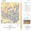
Geologic map the Muenster East quadrangle, Texas |
Collins, E.W. |
2013 |
Open-File Map |
|
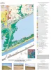
Geologic map of the Guadalupe delta, Texas Gulf of Mexico Coast: Sheet 1-Austwell quadrangle |
Paine, J.G., Collins, E.W. |
2013 |
Open-File Map |
|
Geologic map of the Guadalupe delta, Texas Gulf of Mexico Coast: Sheet 2-Bloomington SW quadrangle |
Collins, E.W., Paine, J.G. |
2013 |
Open-File Map |
|
Geologic map of the Guadalupe delta, Texas Gulf of Mexico Coast: Sheet 3-Green Lake quadrangle |
Paine, J.G., Collins, E.W. |
2013 |
Open-File Map |
|
Geologic map of the Guadalupe delta, Texas Gulf of Mexico Coast: Sheet 4-Sea Drift quadrangle |
Collins, E.W., Paine, J.G. |
2013 |
Open-File Map |
|
Geologic map of the Guadalupe delta, Texas Gulf of Mexico Coast: Sheet 5-Tivoli quadrangle |
Collins, E.W., Paine, J.G. |
2013 |
Open-File Map |
|
Geologic map of the Nueces Delta-Annaville and Odem quadrangles, Texas Gulf Coast |
Paine, J.G., Collins, E.W. |
2012 |
Open-File Map |
|
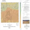
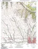
Geologic map of the Gainesville North quadrangle, Texas |
Collins, E.W. |
2012 |
Open-File Map |
|
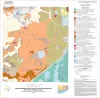
Geoenvironmental map of Matagorda - Matagorda SW quadrangles, Texas Gulf of Mexico Coast |
Tremblay, T.A., Collins, E.W., Paine, J.G. |
2011 |
Open-File Map |

|
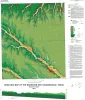
Geologic map of the Brazos Point quadrangle, Texas |
Collins, E.W. |
2010 |
Open-File Map |
|
Geologic map of the Lakeside Village quadrangle, Texas |
Collins, E.W. |
2010 |
Open-File Map |
|
Geologic map of the Blanton quadrangle, Texas |
Collins, E.W. |
2010 |
Open-File Map |
|
Geologic map of the Hillsboro West quadrangle, Texas |
Collins, E.W. |
2010 |
Open-File Map |
|
Geologic map of the Keene quadrangle, Texas |
Collins, E.W. |
2010 |
Open-File Map |
|
Geologic map of the Morgan quadrangle, Texas |
Collins, E.W. |
2009 |
Open-File Map |
|
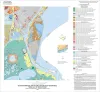
Geoenvironmental map of Big Hill Bayou quadrangle, Texas, Gulf of Mexico Coast |
Tremblay, T.A., Caudle, T.L., White, W.A. |
2009 |
Open-File Map |
|
Geoenvironmental map of Port Arthur South quadrangle, Texas, Gulf of Mexico Coast |
Tremblay, T.A., Caudle, T.L., White, W.A. |
2009 |
Open-File Map |