Environmental Geologic Atlas of the Texas Coastal Zone
-
Books & Reports
- Reports of Investigations
- Guidebooks
- Udden Series
- Geological Circulars
- Down To Earth
- Atlases of Major Oil and Gas Reservoirs
- Texas Memorial Museum Publications
- Environmental Geologic Atlas of the Texas Coastal Zone
- Mineral Resource Circulars
- Other Reports
- Seminars and Workshops
- Handbooks
- Submerged Lands of Texas
- Symposia
- Annual Reports
- Open File Reports
-
Maps & Cross Sections
- Thematic Maps
- Miscellaneous Maps, Charts & Sections
- Geologic Atlas of Texas
- STATEMAP Project Maps
- Geologic Quadrangle Maps
- Cross Sections
- Highway Geology Map
- Energy and Mineral Resource Maps
- Shoreline Change and Other Posters
- Wilcox Group, East Texas, Geological / Hydrological Folios
- Bouguer Gravity Atlas of Texas
- River Basin Regional Studies
- Featured Maps
- Posters
- Teachers & the Public
-
Geological Society Publications
- Gulf Coast Association of Geological Societies
- Alabama Geological Society
- Austin Geological Society
- Corpus Christi Geological Society
- Houston Geological Society
- Lafayette Geological Society
- Mississippi Geological Society
- New Orleans Geological Society
- South Texas Geological Society
- GCS SEPM Publications
- Historic BEG & UT Series
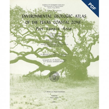
Environmental Geologic Atlas of the Texas Coastal Zone--Port Lavaca Area. Digital Download
EA0007D
For a print version: EA0007.
EA0007D. Environmental Geologic Atlas of the Texas Coastal Zone--Port Lavaca Area, by J. H. McGowen, C. V. Proctor, Jr., L. F. Brown, Jr., T. J. Evans, W. L. Fisher, and C. G. Groat. 107 p., 33 figs., 13 tables, 9 maps, 1976. Downloadable PDF.
To purchase this publication in book format, please order EA0007.
About This Publication
The Port Lavaca area is situated between the marshy coastal lands of the upper Texas coast and the arid lands of the South Texas coast. As the transitional region between these two radically different areas, it exhibits most of the characteristics identified along the Coastal Zone. The Port Lavaca area is composed of vast, sparsely developed coastal plains and some of the least modified bays and estuaries in the Texas Coastal Zone. Though abundant natural resources are being utilized and urban complexes dot the area, hundreds of coastline miles remain essentially undeveloped in their original natural state. A large tonnage of both deepwater and intracoastal shipping flows into and out of the Port Lavaca area.
Keywords: atlases, coastal geology, environmental geology, Texas Coastal Zone, Port Lavaca area, Texas
Citation
McGowen, J. H., Proctor, C. V., Jr., Brown, L. F., Jr., Evans, T. J., Fisher, W. L., and Groat, C. G., 1976, Environmental Geologic Atlas of the Texas Coastal Zone - Port Lavaca Area: The University of Texas at Austin, Bureau of Economic Geology, Environmental Geologic Atlas EA0007D, 107 p.

