Specialized maps and charts covering a wide variety of topics and areas including historic Texas geological maps, Enchanted Rock, Big Bend National Park, Lake Travis, and more.
Miscellaneous Maps, Charts & Sections
-
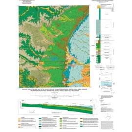
West Half of the Taylor, Texas, 30 x 60... West Half of the Taylor, Texas, 30 x 60...
$16.00Geologic Map of the West Half of the Taylor, Texas, 30 x 60 Minute Quadrangle: Central Texas Urban Corridor Encompassing Round Rock, Georgetown, Salado, Briggs, Liberty Hill, and Leander, by E. W. Collins. Oversize color map, scale 1:100,000 and 16-p. text, 2005. Print Version.For a downloadable, digital version: MM0043D. Geologic Map of the West Half of the...
In Stock -
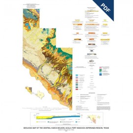
Central Hueco Bolson, Acala-Fort... Central Hueco Bolson, Acala-Fort...
$10.00Geologic Map of the Central Hueco Bolson, Acala-Fort Hancock-Esperanza Region, Texas, by E. W. Collins and J. A. Raney. Oversize color map, scale 1:100,000 and booklet (26 p., 6 figs.), 2002. Digital Version.For a print version: MM0042. Geologic Map of the Central Hueco...
In Stock -
Central Hueco Bolson, Acala-Fort... Central Hueco Bolson, Acala-Fort...
$18.00Geologic Map of the Central Hueco Bolson, Acala-Fort Hancock-Esperanza Region, Texas, by E. W. Collins and J. A. Raney. Oversize color map, scale 1:100,000, and 26-p. text, 2002. Print Version.For a downloadable, digital version: MM0042D. Geologic Map of the Central Hueco...
In Stock -
Geology and Land Use in the...Gulf Coast... Geology and Land Use in the...Gulf Coast...
$5.00Geology and Land Use in the Western Part of the Gulf Coast Coal-Bearing Region - Downloadable. 222MB. Digital Version.For a print version: MM0041. Geology and Land Use in the Western...
In Stock -
Geology and Land Use in the Western Part... Geology and Land Use in the Western Part...
$14.00Geology and Land Use in the Western Part of the Gulf Coast Coal-Bearing Region. Compiled by P. D. Warwick, C. E. Aubourg, R. W. Hook, and J. R. SanFilipo. 1 CD-ROM containing 2 color map sheets, scale 1:500,000, 2002. Co-published by the Bureau of Economic Geology and the U.S. Geological Survey. 1 CD. Print Version.For a downloadable, digital version:... Geology and Land Use in the Western...
In Stock -
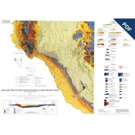
Geologic Map of West Hueco Bolson, El Paso... Geologic Map of West Hueco Bolson, El Paso...
$10.00Geologic Map of West Hueco Bolson, El Paso Region, Texas, by E. W. Collins and J. A. Raney. 1:100,000-scale color map, 25-p. text, 2000. Digital Version.For a print version: MM0040. Geologic Map of West Hueco Bolson, El...
In Stock -
Geologic Map of West Hueco Bolson, El Paso... Geologic Map of West Hueco Bolson, El Paso...
$17.00Geologic Map of West Hueco Bolson, El Paso Region, Texas, by E. W. Collins and J. A. Raney. 1:100,000-scale color map, 25-p. text, 2000. Print Version.For a downloadable, digital version: MM0040D. Geologic Map of West Hueco Bolson, El...
In Stock -
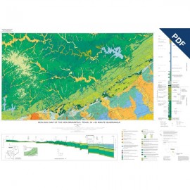
New Braunfels, Texas, 30 x 60 Minute... New Braunfels, Texas, 30 x 60 Minute...
$10.00Geologic Map of the New Braunfels, Texas, 30 x 60 Minute Quadrangle: Geologic Framework of an Urban-Growth Corridor along the Edwards Aquifer, South-Central Texas, by E. W. Collins. 1 oversized color map scale 1:100,000 and 28-p. text. 2000. Digital Version.For a print version: MM0039. Geologic Map of the New Braunfels,...
In Stock -
New Braunfels, Texas, 30 x 60 Minute... New Braunfels, Texas, 30 x 60 Minute...
$16.00Geologic Map of the New Braunfels, Texas, 30 x 60 Minute Quadrangle: Geologic Framework of an Urban-Growth Corridor along the Edwards Aquifer, South-Central Texas, by E. W. Collins. 1 oversized folded color map scale 1:100,000 and 28-p. text, 2000. Print Version.For a downloadable, digital version: MM0039D. Geologic Map of the New Braunfels,...
In Stock -
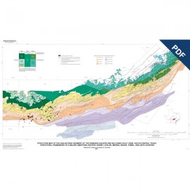
Structure Map of the San Antonio Segment... Structure Map of the San Antonio Segment...
$5.00Structure Map of the San Antonio Segment of the Edwards Aquifer and Balcones Fault Zone, South-Central Texas: Structural Framework of a Major Limestone Aquifer: Kinney, Uvalde, Bexar, Comal, and Hays Counties, by E. W. Collins and S. D. Hovorka. Oversize color map, scale 1:250,000, and 14-page booklet, 1997. Digital Version.For a print version: MM0038. Structure Map of the San Antonio...
In Stock -
Structure Map of the San Antonio Segment... Structure Map of the San Antonio Segment...
$16.00Structure Map of the San Antonio Segment of the Edwards Aquifer and Balcones Fault Zone, South-Central Texas: Structural Framework of a Major Limestone Aquifer: Kinney, Uvalde, Bexar, Comal, and Hays Counties, by E. W. Collins and S. D. Hovorka. Oversize color map, scale 1:250,000, and 14-page booklet, 1997. Print Version.For a downloadable, digital... Structure Map of the San Antonio...
In Stock -
Structure-Contour Map...Red Cave... Structure-Contour Map...Red Cave...
$10.00Structure-Contour Map on the Lower Permian Red Cave Formation, Panhandle Field and Adjacent Areas of the Texas Panhandle, by R. T. Budnik. 1 map, 8-p. text, 3 plates, 1987. Digital Version.For a print version: MM0037. Structure-Contour Map on the Lower...
In Stock
